
Maps & Data
Raw Drone Imagery
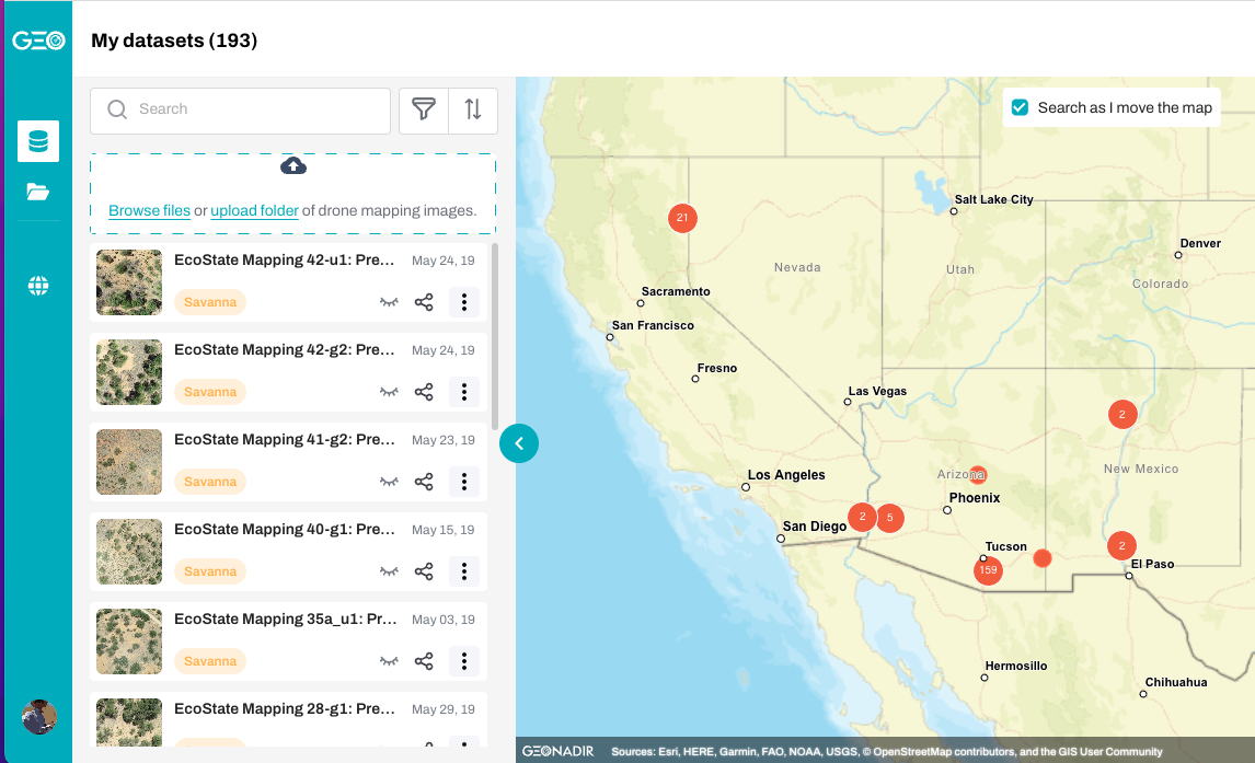
You can view and download my entire archive of collected drone imagery (2016-present day) from Geonadir.
Project Data
Gillan, JK., GE Ponce-Campos, TL Swetnam, A Gorlier, P Heilman, MP McClaran. 2021. Innovations to expand drone data collection and analysis for rangeland monitoring. Ecosphere 12(7). DOI: 10.1002/ecs2.3649
Raw drone imagery and imagery products (DEMs, point clouds, orthomosaics) are stored in Cyverse Data Store
Drone imagery can be visualized in Google Earth Engine
US Golf Association 2023
- Paradise Valley hole #17 point cloud
Jemez Residential Fire Risk 2020
- Drone-based Fuel Map
Bighorn Fire Forest Change 2021-2022
All remotely sensed data (drone, aerial lidar, Planet satellite, classifications) can be found here in Cyverse Data Store.
All GIS/RS data can be visualized on a map here
Final Report to Pima County Regional Flood Control District
Santa Cruz River Vegetation Mapping 2022-2023
Remotely sensed data products from airplane and drone are here
Final Report to Pima County Regional Flood Control District
Tyson’s House
Point Cloud (COPC) of Tyson’s house
Mt. Bigelow, Az
Point Cloud (COPC) of Mt. Bigelow in the Santa Catalina mountains near Tucson, AZ